McPhee's Alberta
Award-winning wall map shows the province in unique detail

McPhee's Alberta
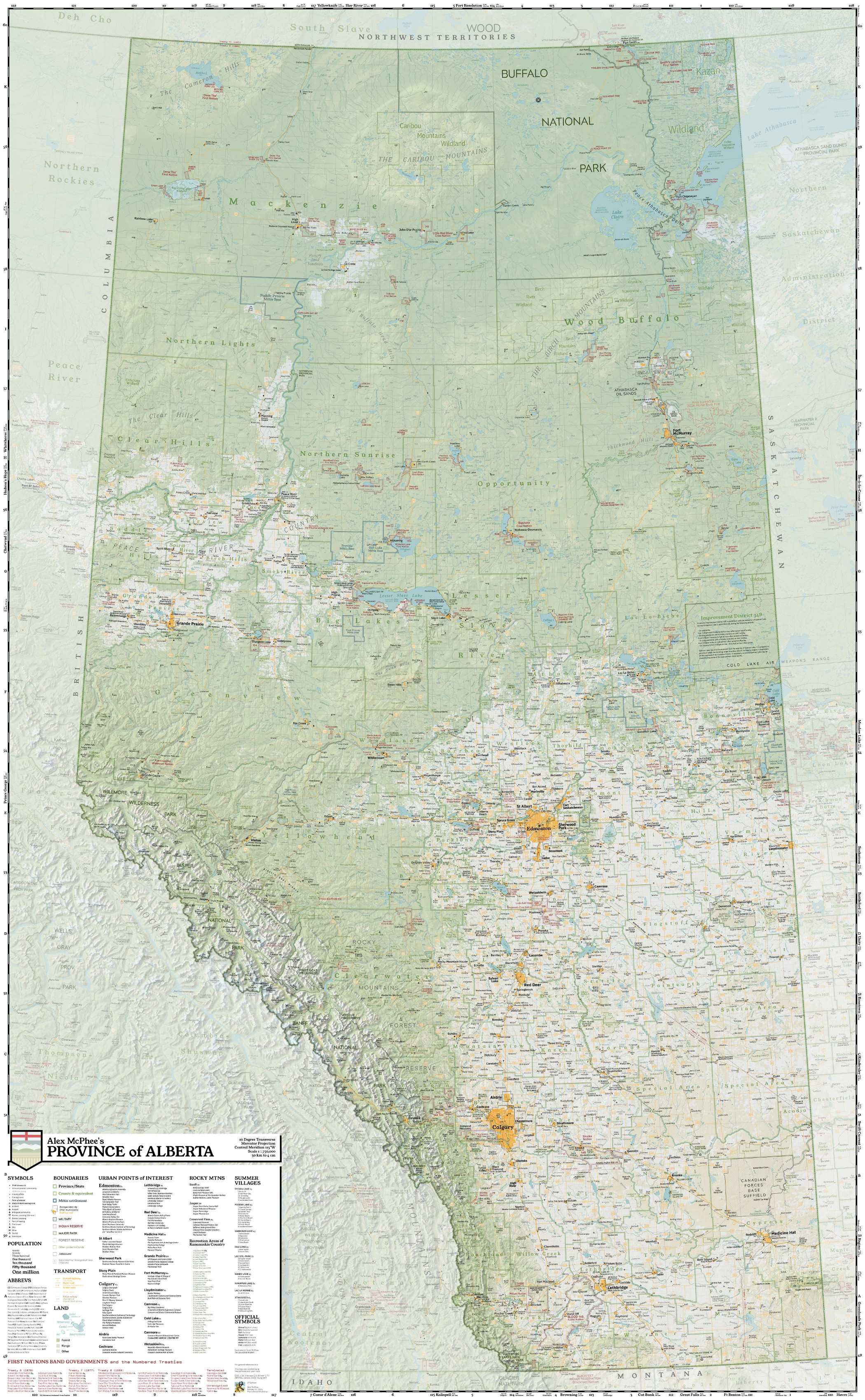
Multi-award winning from cartographic societies in three countries! This comprehensive historical map shows Alberta in all her majesty.
My first reference map was created as a three-year passion project, using open-source software and public-domain resources. It has won multiple international awards. While creating it, I personally visited every county in the province.
I invite you to experience Alberta as I see it!

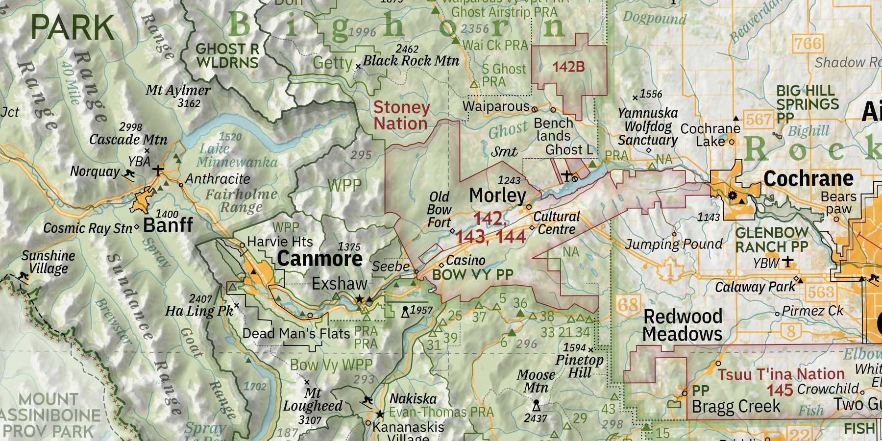
3D rendering software dramatically brings the Canadian Rockies to life on the page. I'm a completionist, so this map features every single government campground and recreation site!

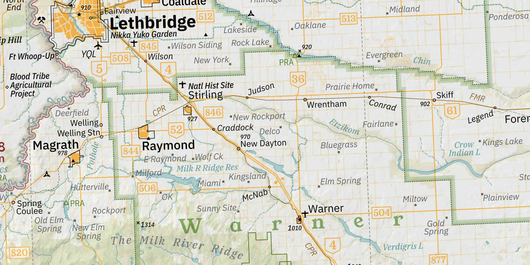
Our prairie south has never been so interesting: here is a complete inventory of ghost towns, grain elevators, and Hutterite colonies. Check out the 1-mile road grid and count out intersections to find your favourite landmarks!

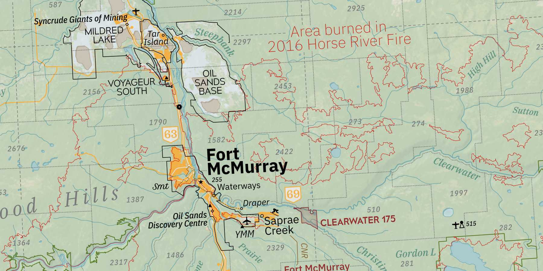
Alberta has the most populated North out of all the western provinces. Take a closer look at our busy boreal forest, interleaved with traplines, road cuts, airstrips, fire towers, and major industrial projects.