Montréal Maps
Enjoy the island life in Canada's most populous archipelago
Being a lifelong prairie resident, I am told that this city is the historic head of navigation on the St. Lawrence, the traditional key to the country, and the source of an awful lot of Just for Laughs reruns. Its language politics certainly take on an interesting character. It's enough to tempt anybody with enough GIS experience to slap together some simple demographic maps.
My demographic maps, I like to think, go a little beyond simple. I have a lot of expertise working with the Canadian census, and a lot of expertise making complex multi-dimensional datasets appear fun and interesting. Don't worry, there's no hidden camera watching you stare intently at your device...

Montréal Mother Tongues
$99.99
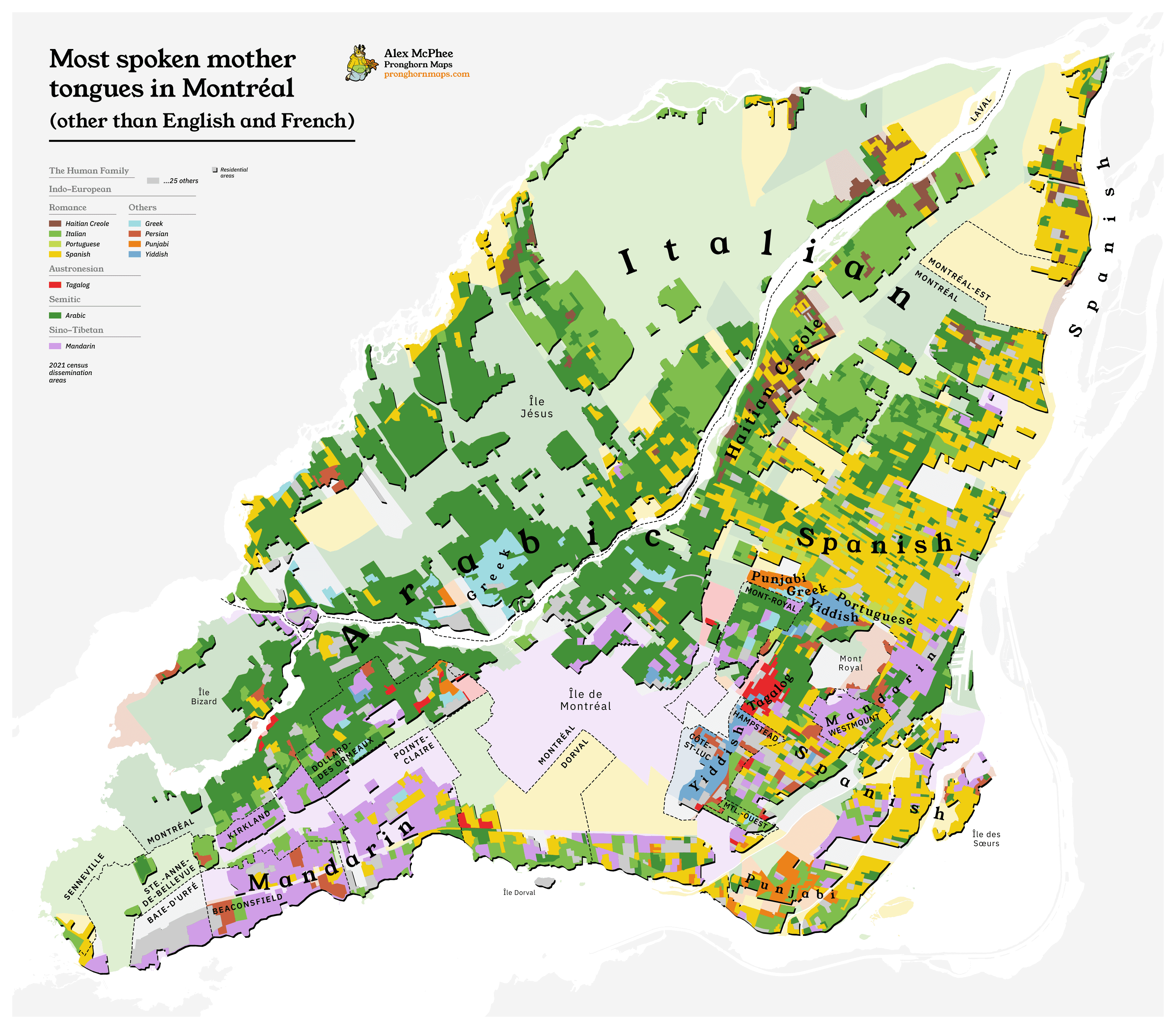
A colourful map of Montréal's most widespread languages. Accurate to the 2021 census.

Langues maternelles à Montréal (français)
$99.99
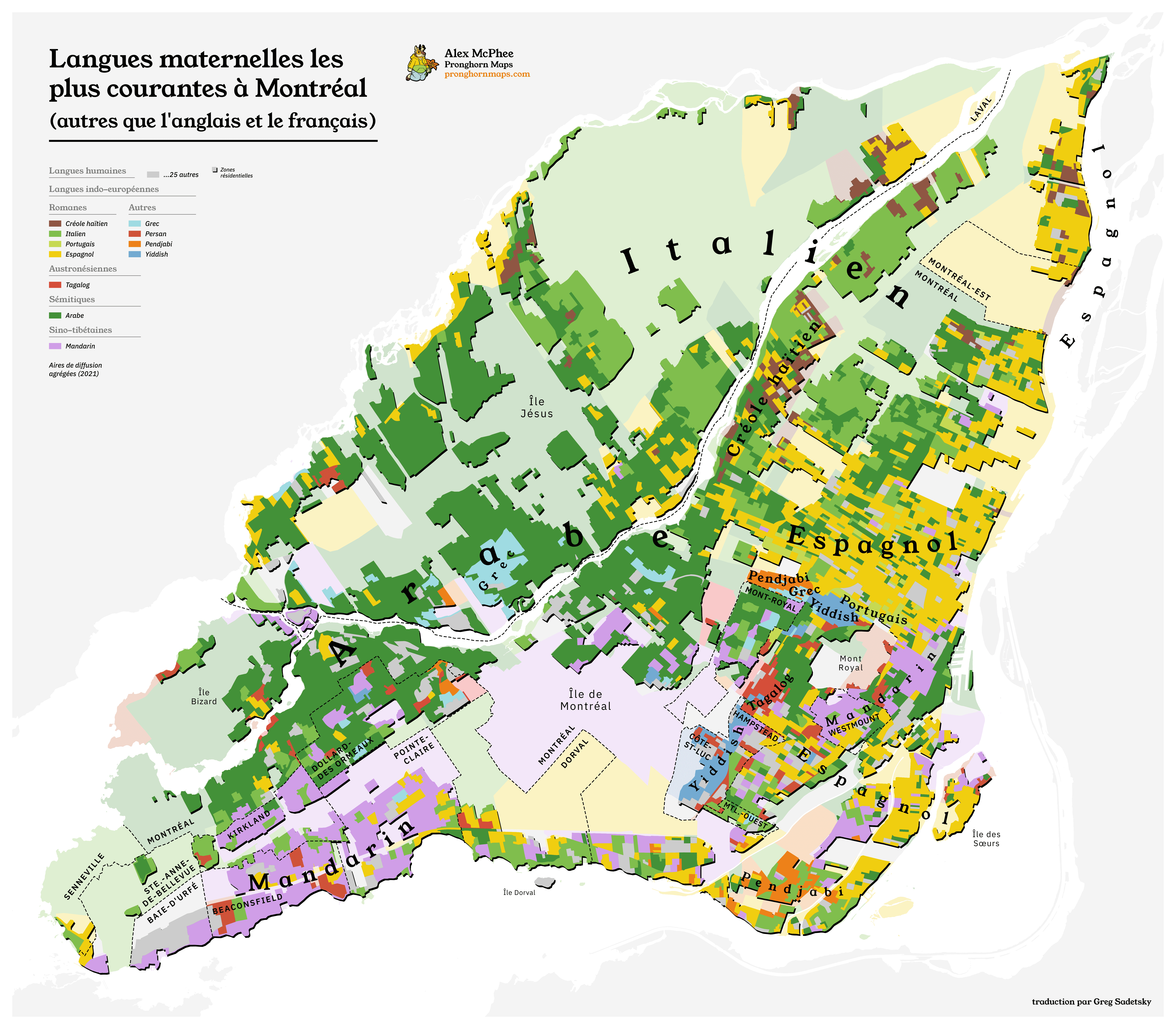
A colourful map of Montréal's most widespread languages, now in Montréal's most widespread language. Accurate to the 2021 census.